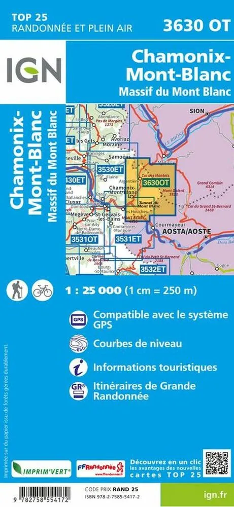
Colouring with graphics indicates different types of vegetation or land use (deciduous or coniferous forests, moors, orchards, vineyards, etc).
Maps include an overprint highlighting waymarked walking trails including long-distance GR routes and, where