Great Britain, by its shape, is difficult to map. The population is dense, the road network intense, and the coastline convoluted. A map of the British Isles shows only the major features. Sectional maps of just England, or Just Wales, make little sense,
Relaterede varer
-
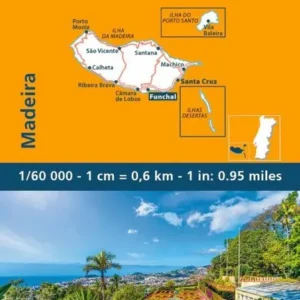
Madeira
kr. 109,95 -
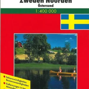
Schweden Nord
kr. 129,95 -
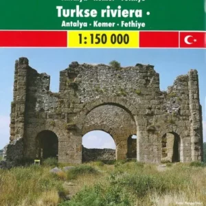
Türkische Riviera
kr. 129,95